On the anniversary of Chatsworth’s 125th Birthday, I and about 35 other people hiked up the old Stagecoach Trail. The trail was in use from the mid-1800’s until 1895 when a new road was built. The old trail also played a part in the civil war. For more info, please read: http://www.parks.ca.gov/?page_id=25209
And: http://www.historicalsocieties.net/history.shtml
Now, onto the caves and railroad portion of our trek:


Hikers, up near what WAS the “Manson Cave” area. Now, thankfully, all negativity associated with these caves is GONE.


Ah, the 118 freeway and Topanga Canyon.

One of Manson’s victims. Manson and his little shits used to steal cars, strip them of their parts, and shove ’em down various canyons around here. Sadly, the entire Santa Susana Pass Canyon is cluttered with these god-awful burned out, rusted out vehicles, some dating back to the late ’60’s and ’70’s and victims of Charles Manson. Today, lots of people use these canyons for illegal dumping, and no one does a damn thing about it.

Another tragedy of this State Park: not all of it is State Park. Sadly, the Park could not or would not buy all of the available land when the old movie ranches went out of business. The result is that some church bought a lot of the land. They plopped down a mega-church, parking lots, and then went and bought some land which they really do not use, but instead, put up a bunch of ugly signs warning people to keep off. Then their members patrol the area on ATVs, which damage the land. They nearly run over hikers – who are NOT on their property but instead on adjacent property, and demand to know what they are doing. They eyeball everyone, assuming that anyone on PUBLIC, state park land must be up to no good and thus must be watched at all times. Because, you know, that’s what JESUS WOULD DO: Put up ugly signs warning people to KEEP OUT. Riiiiiiiiiiiiiight…..

Train tracks looking south.


The tracks are the City’s property. Thus, the graffiti is allowed to proliferate. Still, these tracks have a rich history. The 3 tunnels were started on in the late 1800’s, and completed in 1904. They created a new “Coast Line”, which linked Los Angeles with San Francisco. This helped end the need for the old Stagecoach Road.

I do love railroad tracks.


The tunnels in these photos belong to Tunnel #27, one of a historic series of 3 tunnels and often used in classic movies, especially westerns. You can learn more about Chatsworth’s film history here: http://a-drifting-cowboy.blogspot.com/2012/02/homage-to-six-gun-heroes-and-their.html

The graffiti that the City of LA is known for, on the top of tunnel 27.

There used to be a second track here. Supposedly it ran to a rock quarry called the Southern Pacific Railroad rock quarry, used to build this portion of the railroad and tunnels.

For historic reference, check out these two photos, pictured below, of this same rail line and tunnel, tunnel #27: http://www.railroadforums.com/photos/showphoto.php/photo/20450/title/surfliner-through-santa-susana-pass-tunnel/cat/605

The one above fairly recent.
And look at this one, below!!!! Taken in 1904 right after completion of the tunnels!! See the second line? It no longer exists. I suspect it was just used for a rock quarry and to build the tunnels.


The photo above is from a movie, Rio Grande, shot in 1940.
This is a photo from a movie called “Ma & Pa Kettle On The Farm”, circa 1951 showing the tunnel and tracks. For more info and to learn about some really cool film history, go here: http://a-drifting-cowboy.blogspot.com/2012/07/chatsworth-filming-location-railroad_03.html
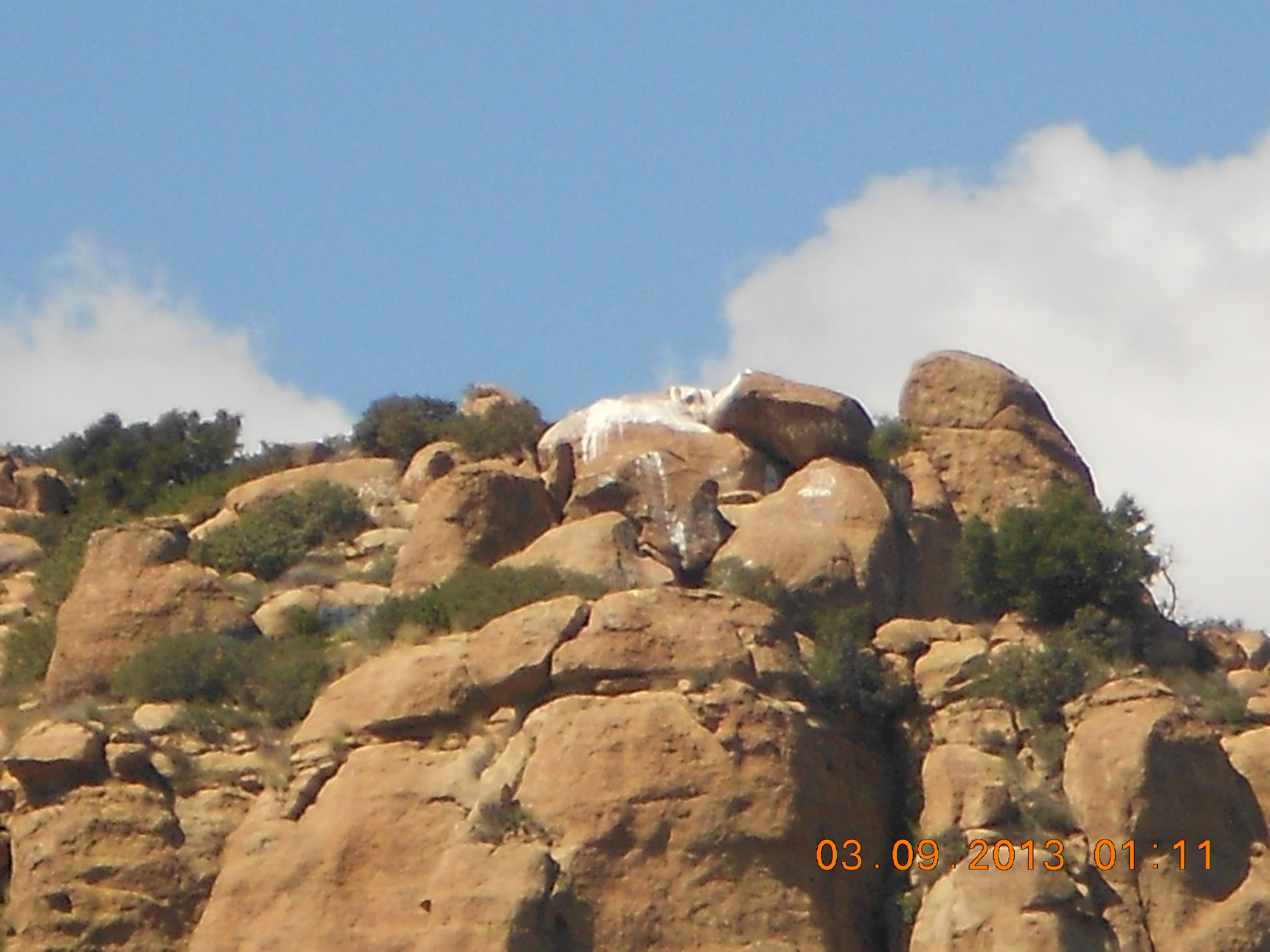
Ah, see the white paint at the top of this hill? At least I think it’s paint. Anyway, this hill is known as Stoner’s Jump, or Stoner’s Point, depending on your source. YAY!!!

See what happens when the City takes over?? The State Park has control of most of Santa Susan State Historical Park, but this portion near the railroad is sadly owned by the City. The State Park takes care of its rocks – when graffiti appears, it is promptly erased. But the City could not care less, and this graffiti has proliferated for years. This huge rocky overhang, something of a cave really, USED to have Native American pictographs on it. Now, nothing but gang tags.

Walking away from the rails and toward Chatsworth Park South.


Chatsworth Park South. the park with some of the richest history in So Cal, and unlimited potential, is now closed exclusively due to the utter incompetence of the City of LA, and their politics. They shut the park several years ago, due to, they CLAIM, the presence of lead in the soil. While it is true that there is lead in the soil (due to Roy Rogers’ old skeet shooting range), the lead is only in one tiny portion of the park that could easily be fenced off, and NO ONE, in the 60+ years the park has been open to the public, ha complained that this park has made them sick. Plus, you’d have to actually EAT the dirt to get sick. Yet, the whole park remains closed and fenced off. That ain’t horse shit you smell. It’s BULL SHIT.

Wonder what these posts used to be used for? Pony rides and LOTS of equestrian trails used to exist in this park.

We end where we began, at the entrance to Chatsworth Park South and the old dynamite shed.

Just for fun: This driveway leads to an old red barn and large horse property. It is located just a few blocks from Chatsworth Park South.

Yes, this old barn does have some significance. It is the barn where Mr. Ed lived. http://news.google.com/newspapers?nid=2457&dat=19970124&id=ugxbAAAAIBAJ&sjid=Qk4NAAAAIBAJ&pg=3598,2346778

Looks like a little donkey lives here now! Sorry I couldn’t get a better photo with all of this awful chain-link around.

Leave a comment